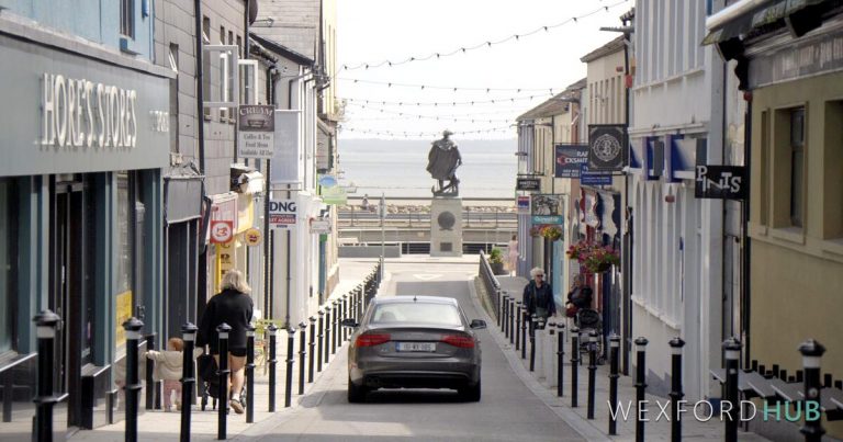
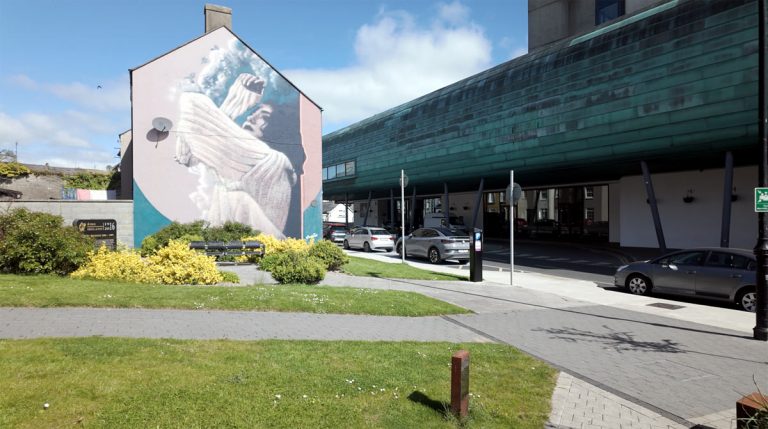
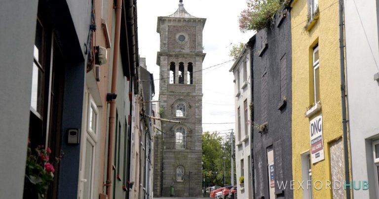
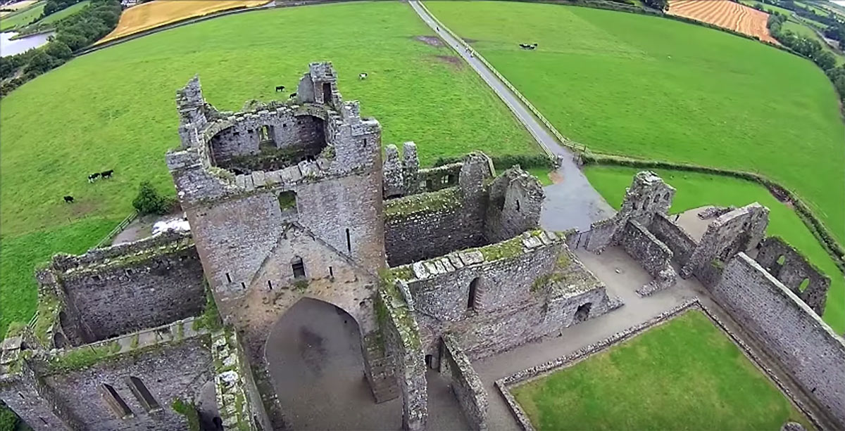
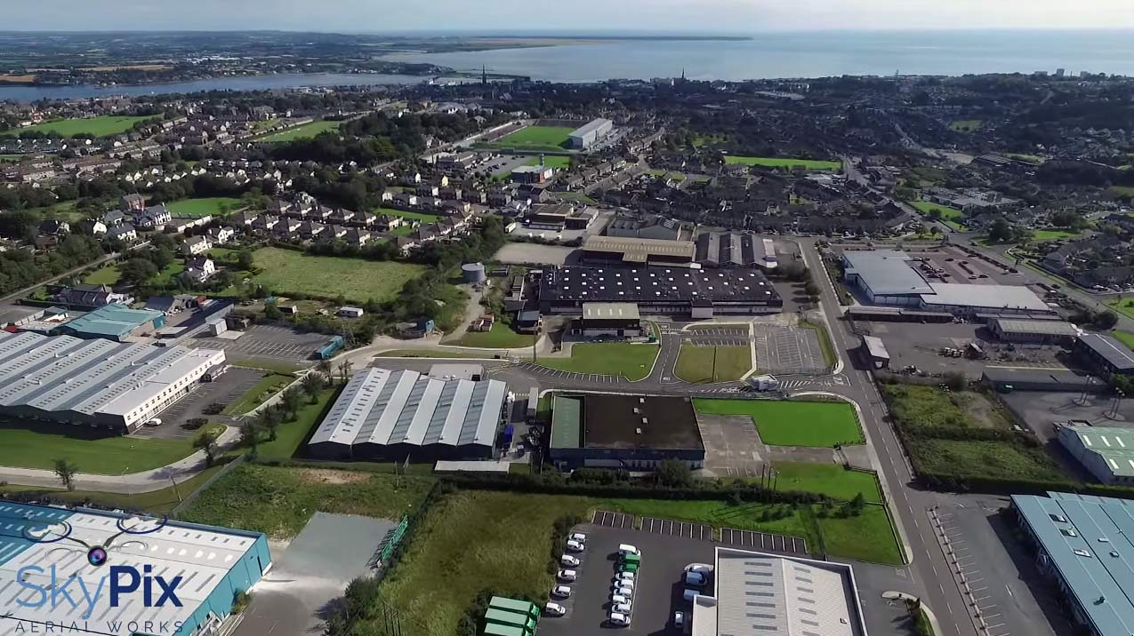
Watch: Aerial footage of Wexford Town
Aerial footage of Wexford Town captured by SkyPix Aerial Works, with labelled screenshots identifying key locations including the Industrial Estate, Clonard Road, and Wexford Bridge.
Page 18 of 34
Aerial footage of Wexford Town captured by SkyPix Aerial Works, with labelled screenshots identifying key locations including the Industrial Estate, Clonard Road, and Wexford Bridge.
Henrietta Street in Wexford Town connects South Main Street to Crescent Quay. The origin of its name is unclear, and a 1932 attempt to rename it O’Hanrahan Street was rejected by locals.
Vincent Martin Crowe has been found guilty of murdering Wexford man Kenyon Meyler, who was fatally stabbed at a house party in Perth, Australia, in February 2013.
Abbey Street in Wexford Town takes its name from Selskar Abbey, built by the Normans in the 12th century. The street was also known as Market Street and Lower Back Street.
Mary Street in Wexford Town was once called Chapel Lane. It was the location of Raby’s Gate, one of six gates to the walled town of Wexford.
Aerial drone footage captured by YouTube creator Drone Girl offers a rare perspective of Dunbrody Abbey, the former Cistercian monastery in County Wexford founded in 1182.
Anne Street runs through the centre of Wexford Town, connecting Wexford Quay with North Main Street and South Main Street. Before land reclamation, the shoreline extended up into the street.
Peter Street in Wexford Town was once the centre of the corn trade, supplying malted corn to the Guinness breweries in Dublin. It takes its name from St. Peter’s parish, one of the original Norse-Irish parishes.
1798 Street opened around 1998 during the bicentenary of the 1798 Rebellion. It was previously recorded as Fort View on 19th-century maps.
County Wexford offers a range of activities for children and families, including playgrounds, beaches, indoor play centres, farms, and outdoor attractions.